In brief
- HeightField creates two-dimensional volumes that store height and mask values.
- HeightField Erode can remove and transport material through rainfall and erosion; SideFX documentation covers it from Houdini 21.0 onward.
- Erosion Feature Size sets the width of erosion marks in meters.
- Freezing the output with Freeze once the simulation reaches the desired frame can help prevent unexpected results when chaining nodes.
In Houdini, HeightField, HeightField Erode, and HeightField Mask by Feature nodes can be used together in a procedural terrain creation and erosion workflow. SideFX documentation covers HeightField and Mask by Feature from version 16.0, and HeightField Erode from version 21.0. This guide explains how to prepare a terrain base, control erosion, and freeze the result using parameters described in that documentation.
1. Prepare the HeightField base
The HeightField node creates two-dimensional volumes named height and mask. height represents the terrain’s elevation at each point relative to the ground plane; values can also be negative. mask determines where other terrain nodes have an effect: at zero, there is no effect; at one, the effect is applied fully.
When creating the initial terrain, choose a resolution method that suits its size. By Axis uses a specified number of samples along the longest axis. By Size places samples at a specified interval. Grid Samples is associated with the first method, while Grid Spacing is associated with the second. SideFX recommends thinking of Houdini units as meters when setting the scale and initial height; terrain tools and Houdini dynamics also assume meters.
2. Set up the erosion node and choose a scale
One of SideFX’s documented starting points is to create the Terrain: Mountain or Terrain: Canyon preset from the Terrain FX shelf. Connect the terrain to be eroded to the HeightField Erode node. Optional masks can be connected to the second input; then set the relevant parameter’s mask option to Mask On and match the mask to its primitive name.
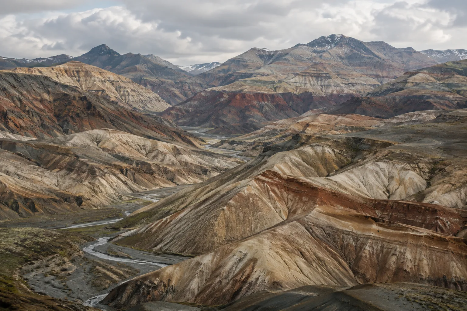
Erosion Feature Size determines the scale of the channels, slopes, and deposits that form. Larger values create broader terrain features, while smaller values produce sharper detail. The minimum feature size is three times the input terrain’s voxel size; values below this limit are clamped. So, when aiming for fine detail, lowering the parameter alone may not be enough: also check that the input resolution suits the intended scale.
| Setting | Recommended value | Effect |
|---|---|---|
| Erosion Feature Size | Based on the scale of the intended terrain feature, in meters | Higher values produce broad erosion features; lower values produce sharper ones |
| Spread Iterations | Based on the distance the material needs to travel | Together with Erosion Feature Size, affects the distance material travels in one frame |
| Iterations | Based on the desired erosion effect | Increasing it strengthens the effect but extends simulation time |
| Freeze at Frame | The frame at which to freeze the result | Freezes the simulation output at the specified frame |
The documentation does not recommend fixed values for these settings that will work for every scene. Set them according to the desired terrain appearance and input voxel size.
3. Use a mask to limit the effect to specific areas
HeightField Mask by Feature generates masks based on slope, height, curvature, surface orientation, or ambient occlusion information. This lets you limit an effect such as erosion to selected features rather than applying it across the entire terrain. When multiple criteria are enabled, the result is generated from their intersection.
The slope criterion uses lower and upper angle limits. A minimum and maximum height can be set for a height mask; Compute Range maps the current minimum and maximum values in the input to the range. The curvature option selects areas above a specified curvature value. The direction mask considers the horizontal direction the surface faces. The documentation specifies that 0 degrees points toward -X and +90 degrees toward -Z.
When combining a new mask with an existing one, you can use methods such as Replace, Add, Subtract, Multiply, and Blend. One important thing to check is which criteria are selected: if none are enabled, the node fills the mask with 1. To avoid affecting the entire terrain unintentionally, review the criteria and how the new mask is combined with the existing one.
4. Play the simulation and freeze the result
After creating a preset from the Terrain FX shelf, go to the start frame and play the simulation using the playbar. Once the desired erosion look is reached, freeze the output by setting Freeze at Frame to the appropriate frame. With Freeze enabled, the simulation is calculated from the start frame through the frozen frame; when it is disabled, the node runs incrementally with the playbar.
To create marks at different scales, you can add another HeightField Erode node after the first. Setting a finer Erosion Feature Size on the second node is the documented way to add small details over broader forms. However, chaining multiple nodes without freezing them can cause calculations to run out of order, produce unexpected results, or take longer. Check the result at each stage and freeze the required output.
Along with eroded height, the node can also generate sediment, debris, flow, and flowdir layers. These layers can be viewed with HeightField Visualize or used to generate textures in Copernicus networks. The Add Debris Layer to Final Height Layer and Add Sediment Layer to Final Height Layer options add the corresponding deposits to the final height layer.
What does this offer for architecture and archviz workflows?
SideFX documentation does not associate these tools with specific types of architectural projects. As an editorial suggestion, this workflow could be considered for creating controlled surface forms in an architectural presentation or terrain scene where topography is visually prominent. Mask layers make it possible to direct erosion to selected areas, while using nodes at different scales allows broad forms and fine marks to be handled in separate stages.
Before production, check the project scale, meter units, and input voxel size; the voxel size limits the smallest erosion detail. Higher iteration counts can produce a stronger effect but extend computation time. The source documentation does not provide hardware requirements, licensing terms, or compatibility information for other software. Rather than assume specific performance or compatibility, verify the Houdini version in use and your team’s workflow separately.
Common mistakes
Using Mask by Feature without enabling any criteria: the mask is filled with 1.
Trying to set
Erosion Feature Sizebelow the limit imposed by the voxel size: the feature size cannot be less than three voxels.Running multiple HeightField Erode nodes in sequence without freezing them: ordering and calculation issues may occur.
Increasing
Iterationswithout accounting for processing time: stronger erosion can make the simulation take longer.
Sources
3 sourcesSource texts are not republished; short quotes are marked, everything else is our own summary and commentary.
For architecture and visualization teams creating terrain in Houdini, a key practical advantage is being able to control broad topographic forms and fine erosion marks in separate node stages. Mask layers also help direct erosion to selected areas, so the entire surface does not have to share the same character.
For offices in Turkey, it makes sense to validate resolution, scale, and iteration counts with small tests before applying the workflow. The documentation does not specify hardware or licensing requirements, so a particular system cost should not be assumed. Freezing outputs when chaining nodes and matching resolution to the intended detail can help reduce unnecessary computation and unexpected results.
Frequently asked questions
From which version onward is Houdini HeightField Erode documented?
SideFX documentation covers the HeightField Erode node from version 21.0 onward.
How can I freeze HeightField erosion in Houdini?
When the simulation reaches the desired frame, enable Freeze and set Freeze at Frame to that frame. With Freeze enabled, the simulation is calculated from the start frame through the specified frame.
Which areas can HeightField Mask by Feature select?
The node can create masks using slope, height, curvature, surface orientation, and ambient occlusion criteria. When multiple criteria are enabled, the result is calculated from their intersection.